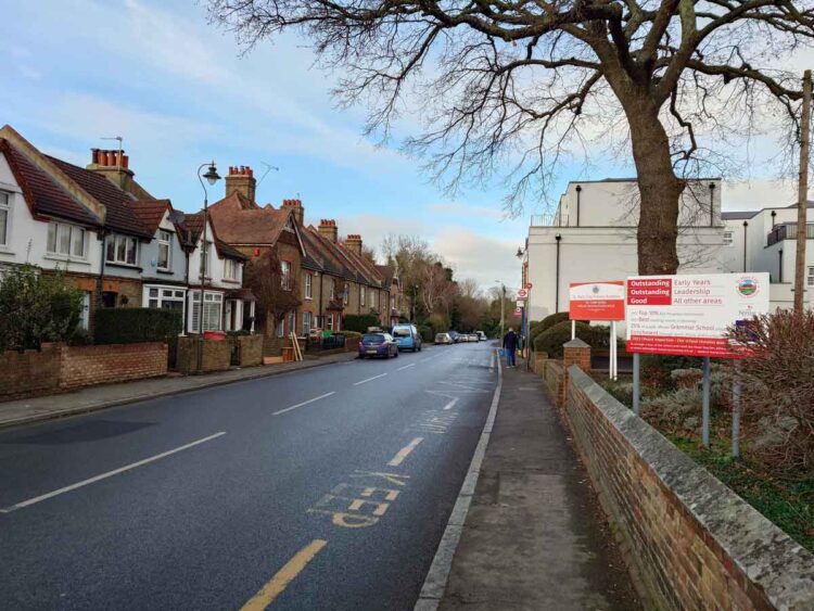
Situated in Orpington and within the London Borough of Bromley, St Mary Cray is 13 miles from central London. This area is known for its contribution to the local history and community development.
Surrounded by areas rich in diversity and culture, St Mary Cray is bordered by St Paul’s Cray, Swanley, Crockenhill, Orpington, and Petts Wood. This strategic positioning allows residents to enjoy a variety of amenities, green spaces, and community events in these neighbouring locales, fostering a sense of belonging and connection to the wider Orpington and Bromley region.
Key Takeaways
Historical Significance: Gain insights into St Mary Cray’s past and how it shapes the community today.
Education Focus: Information on local schools serving the community’s educational needs.
Transport Accessibility: Overview of how to navigate St Mary Cray and its connectivity with surrounding areas.
Local Amenities: Insight into the parks, shops, and recreational facilities available in St Mary Cray.
Community and Nearby Attractions: Discover the sense of community and explore attractions in and around Orpington.
This guide aims to provide factual and useful information about St Mary Cray, focusing on its history, amenities, and community without embellishment.
A Brief History of St Mary Cray
St Mary Cray’s history, deeply intertwined with its geographical features and industrial developments, showcases its evolution from a Roman and Saxon settlement to a significant market town by the grant of Edward I.
Historically it was a market town in the county of Kent. The area flourished through agriculture, then notably through foundries in the 17th century and paper manufacturing during the Industrial Revolution. The advent of the railway in the 19th century spurred population growth and introduced Cray Wanderers F.C., London’s oldest association football club. Browse around here.
Post-WWII, St Mary Cray transitioned from farmland to industrial and residential development, reflecting its adaptability and community spirit through changes.
Parks & Recreation
St Mary Cray boasts a range of parks and recreational facilities catering to diverse interests:
The St Mary Cray Recreation Ground (Park Road BR5 4BS) [1] offers open green spaces for leisure, while the home of Orpington FC (1-13, Park Rd, Orpington BR5 4AS) [2] is a hub for football enthusiasts.
Watermeadows Open Space (12 Riverside Cl, Main Rd, Orpington BR5 3HJ) [3] provides a natural retreat with scenic views.
Sandway Park (Sandway Rd, Orpington BR5 3TL) [5][6], a children’s play area, football, teenage shelter, and multi-use court.
For those seeking more intimate settings, Sandway Park and the grounds of Kevington Hall offer beautiful landscapes and historical ambiance. Kevington Hall (The Farm Yard/Crockenhill Rd, Orpington BR5 4EP) [7][8], nestled within Kent’s countryside, offers a unique blend of historical elegance and modern amenities for exclusive wedding celebrations. This 18th-century Georgian mansion, set on a Roman foundation and designed by Sir Robert Taylor, combines architectural beauty with the convenience of contemporary comforts. With spaces for both intimate ceremonies and grand receptions, Kevington Hall provides a picturesque backdrop for marking new beginnings. Its dedicated team ensures a seamless experience, from catering options to on-site coordination, making every wedding a bespoke event that honours the couple’s journey and dreams.
Each location supports community engagement and outdoor activities, contributing to the area’s vibrant recreational life.
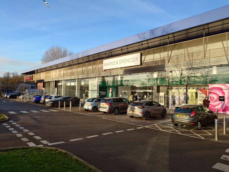
Shopping
St Mary Cray caters to shopping enthusiasts with venues like Nugent Shopping Park and Springvale Retail Park, offering a mix of local boutiques and major retailers. Nugent Shopping Park (Cray Ave., Orpington BR5 3RP) [9] features a variety of stores, including fashion outlets and home goods, while Springvale Retail Park (Springvale Retail Park, Sevenoaks Way, Orpington BR5 3SG) [10] is known for its selection of large retail chains, providing a comprehensive shopping experience. These parks serve as convenient destinations for both everyday needs and leisurely browsing, making St Mary Cray a key shopping hub in the area.
Education & Schooling
St Mary Cray offers educational opportunities primarily through St Mary Cray Primary School (239B High St, St Mary Cray, Orpington BR5 4AR) [11], focusing on early learning and development. Alongside, the area hosts several nurseries designed to cater to the pre-school demographic. This educational landscape ensures foundational learning experiences for young residents within a community-focused environment.
Transportation
St Mary Cray is well-connected through its rail and bus services, ensuring efficient transport links for residents and visitors. The St Mary Cray station (Orpington BR5 2PQ) [12] offers rail services to key destinations like London Victoria and Ashford International, while an extensive bus network facilitates local and wider area access, including routes to Woolwich, Lewisham, Dartford, and Trafalgar Square, among others. This comprehensive transport system supports convenient travel across the region, catering to both daily commutes and leisure journeys.
Compassionate Funeral Services for the St Mary Cray Community
Welham Jones Funerals and Memorials is a family-run funeral director serving West Kent and South East London. Our Orpington & Chelsfield branch, located near St Mary Cray, offers a range of compassionate services to support residents during their time of need.
Funeral Packages and Pre-Paid Plans
We provide comprehensive funeral packages to suit various preferences and budgets. Our pre-paid funeral plans allow individuals to plan ahead, alleviating future financial and emotional burdens on loved ones.
Coffins and Caskets
Our selection includes coffins made from various materials, such as sustainable woods and veneers. We ensure all are crafted with care and respect.
Care After Death
We treat the deceased with dignity, adhering to the highest standards. Our team prepares your loved ones for their final journey with meticulous attention.
Repatriation Services
For families needing to bring loved ones back home or send them abroad, our experienced team manages all aspects of repatriation, ensuring a smooth process.
Memorials and Tributes
We assist in creating lasting memorials and tributes, offering guidance on interment options and personalized keepsakes to honour your loved one’s memory.
Obituaries
Our obituary services help commemorate and celebrate the lives of those who have passed, providing a space for family and friends to share memories.
Welham Jones is committed to supporting the St Mary Cray community with empathy and professionalism, ensuring every family’s needs are met with care.
How to Get to Welham Jones from St Mary Cray
To travel from St Mary Cray to Welham Jones Funeral Directors (find more info), start by heading north-west on Kent Road towards Wellington Road for 354 feet. At the roundabout, take the first exit onto Lower Road and continue for 0.3 miles.
Next, turn left onto Court Road/Orpington By-Pass (A224) and follow it for 1.4 miles. Then, turn right onto The Highway and continue for 0.5 miles before turning right onto Warren Road.
After 469 feet, turn left onto Windsor Drive and follow it for 249 feet. Finally, turn left onto The Meadway, where your destination will be on the left.
How to write the perfect eulogy to honour your loved one
by Simon Welham
The location is easy. Deciding the flower arrangements, slightly trickier. But, when planning a funeral, we hear many family members say that writing the eulogy is the hardest part. Where do I start? What are people expecting me to say? How can I possibly epitomise an entire life in just one speech? With over thirty years of experience helping families across West Kent and South East London arrange funerals, we know how daunting this task can be. That’s why we’ve put together a practical guide, with tips to help you write and deliver a eulogy that truly honours your loved one.
What people would like to happen at their own funerals
by Rebecca Welham
How would you like your life to be commemorated? A recent survey suggests that, while some traditional funeral elements remain evergreen choices, some contemporary ideas are gaining definite ground among those thinking about their own funerals.
Questions to ask to make sure you get the right funeral director for you
by Rebecca Welham
When you lose a loved one, you suddenly have only weeks to prepare their funeral – at a time when you are dealing with your own grief, and probably that of people close to you and the deceased. These key questions will help you choose a funeral director who will work with you to shape the farewell you would wish your loved one to have.